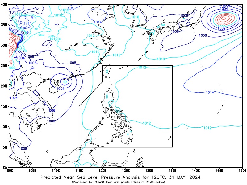
State weather bureau PAGASA is currently monitoring a tropical depression that could enter the Philippine Area of Responsibility on Sunday. In a Super Radyo dzBB interview on Friday, Anna Clauren of the PAGASA weather forecasting center said the tropical depression was last seen 1,090 kilometers west of extreme Northern Luzon or outside the PAR. It will be called “Butchoy” upon its entry into the PAR.
“Mataas pa rin po 'yung uncertainty natin dito sa nasabi nating tropical depression dahil nga sa kasalukuyan ay patungo po ito sa may Hong Kong area o sa may Mainland China, at possible po itong mag-landfall diyan...

Possible po itong pumasok sa ating PAR kung sakaling di po siya hihina habang tatama or sa pagtama niya po sa bahagi po ng Mainland China,” said Clauren. (There’s still a high uncertainty with the tropical depression because it’s currently headed towards the Hong Kong area or Mainland China and may make landfall there..
. It may possibly enter the PAR if it doesn’t weaken while making landfall in Mainland China) As of 3 p.m.
, the tropical depression has a maximum sustained winds of 55 km/h and gustiness of up to 65 km/h. It was moving northwestward at 25 km/h. Should the tropical depression enter the PAR, it would directly affect the extreme Northern Luzon.
Metro Manila, meanwhile, will not be affected, said Clauren. In the next 24 hours, Metro Manila and the rest of the country may experience partly cloudy to cloudy skies with isolated rain showers or t.