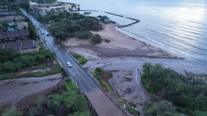
Some homeowners are concerned about unintended consequences, red tape and the effect on property values. Maui County has nearly completed mapping wetlands across Maui, Molokai and Lanai in an effort to help mitigate flooding, control harmful runoff, enhance wildlife habitat, restore natural fire breaks and provide other benefits like sequestering carbon. Over the last year, the Planning Department, Hawaii Sea Grant and consultant H.
T. Harvey & Associates tried to determine which of the estimated 52,000 tracts of land across the county could be considered wetlands. An overview and draft map were released and public comment was accepted through last Friday, although continued feedback is welcome, said Wesley Crile, a Sea Grant coastal dune restoration specialist who works on the project.

More than 20 property owners asked to have their land removed from the map, according to the Planning Department. They expressed fear over unintended consequences, red tape and diminished property values, concerns that environmental advocates say are likely overstated. The mapping effort stems from a county ordinance adopted in 2022.
Bill 91 was sponsored by former County Council member Kelly King who was alarmed by the diminishing amount of wetlands in Maui County. The ordinance required creation of a wetlands inventory and map to be updated every five years in perpetuity. The law also authorizes the Maui County Council to create a Wetlands Overlay District, with zoning changes that could incl.