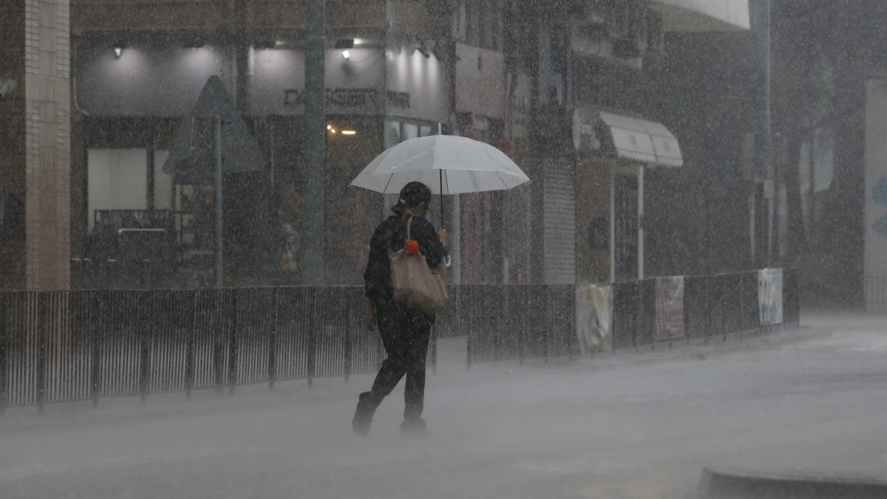
Hong Kong may record its first typhoon of the year as early as Sunday, with the local forecaster predicting very hot and unstable weather for next week. The Observatory said one computer prediction model being consulted showed two convective cloud clusters near the Philippines could form a low-pressure area and then develop into a tropical cyclone close to the city as soon as Sunday morning. Satellite images currently placed the two prominent convective cloud clusters to the east of the Southeast Asian country, it said.
The forecaster added that a subtropical ridge of high-pressure, which had brought persistently hot weather to the city over the past two weeks, would also move westwards towards Hong Kong early next week. While the Observatory noted recent prediction models lacked a consensus on the expected intensity of the lower-pressure area, a prediction from Guangdong Meteorological Bureau suggested it could develop into a typhoon. Local temperatures over the weekend were expected to hover between 29 and 34 degrees Celsius (84.

2 and 93.2 Fahrenheit) with a low chance of rain and fresh offshore winds, the forecaster said. Another broad low-pressure trough is also expected to bring more showers near the coast of Guangdong from middle to late next week, with a US prediction forecasting a “relatively strong tropical cyclone” could form in the South China Sea.
“A low-pressure area may form within the trough, with the potential to develop into a tropical cyclone,” the O.